Owens Valley Geology

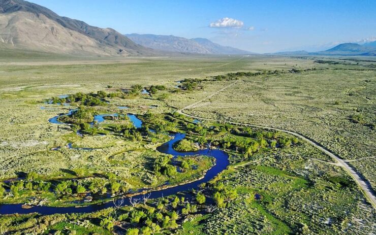
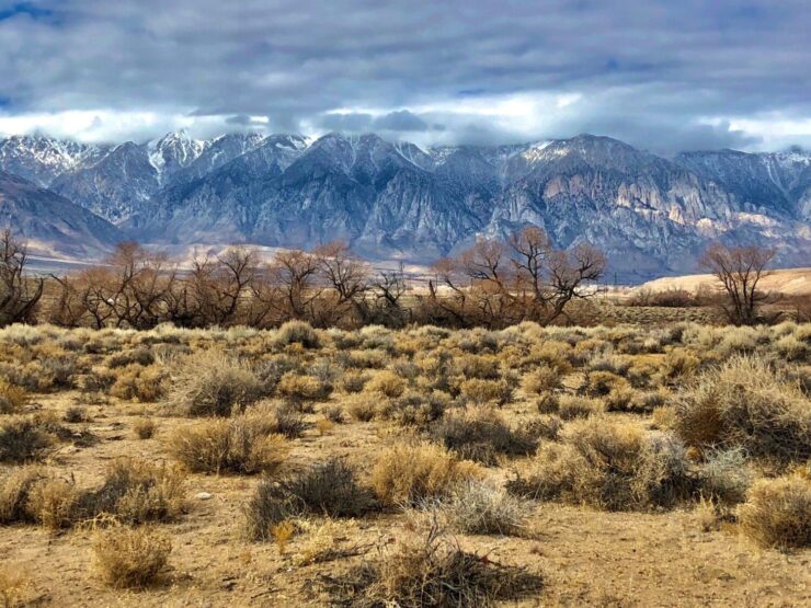
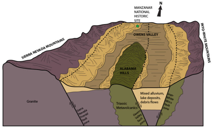
The Owens Valley of eastern California is a deep north-south trending basin lying between the Sierra Nevada on the west and the White-Inyo Mountains on the east. The valley’s maximum topographic relief is about 10,800 feet between Mt. Whitney (14,494 ft.) and Lone Pine (~3,700 ft.), a horizontal distance of only about 13 miles. The … Read more

Drought Recovery Policy

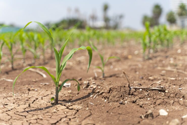
The Drought Recovery Policy (DRP) is an overlay on the Water Agreement. By instituting controls on groundwater pumping beyond those specified in the on/off procedures in the Green Book, the DRP provides insurance that the vegetation protection goals of the Water Agreement will be met. The DRP has assumed great importance because the Inyo County … Read more

Groundwater: An Introduction

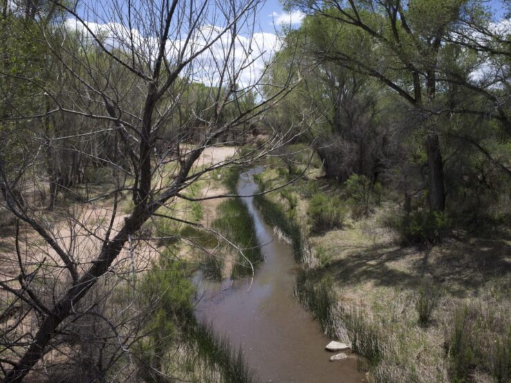
What is groundwater? Delineations between surface water, groundwater, and underground water can be distressingly murky. E.C. Pielou (1998) provides one of the clearest definitions of groundwater when she notes that the word applies “only to water that saturates the ground, filling all the available spaces,” or to water within the saturated zone, the upper boundary of which … Read more

Lower Owens River Project

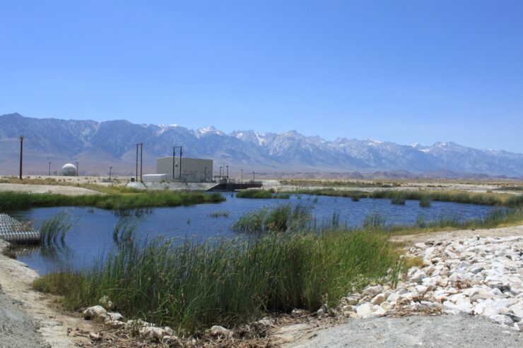
  Left–The lower Owens River channel in December 2006. Right–Los Angeles Mayor Antonio Villaraigosa (foreground) meets habitat flows on the lower Owens in February 2008. Since 1913, Los Angeles’ surface water diversions and groundwater pumping in the Owens Valley have destroyed springs and seeps, dried the Owens Lake and the lower Owens River, and caused … Read more

Owens Valley Issues

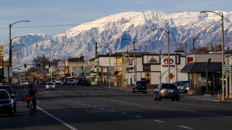
Los Angeles’s acquisition of virtually all land and water on the floor of Owens Valley, and the resulting status of the valley as a resource colony underlies almost all questions of Owens Valley resource management. Rather than attempting to directly remedy this historic injustice, the OVC has, instead, sought an indirect remedy through enforcement of … Read more

Bad Day at Blackrock – Desertification in the name of mitigation

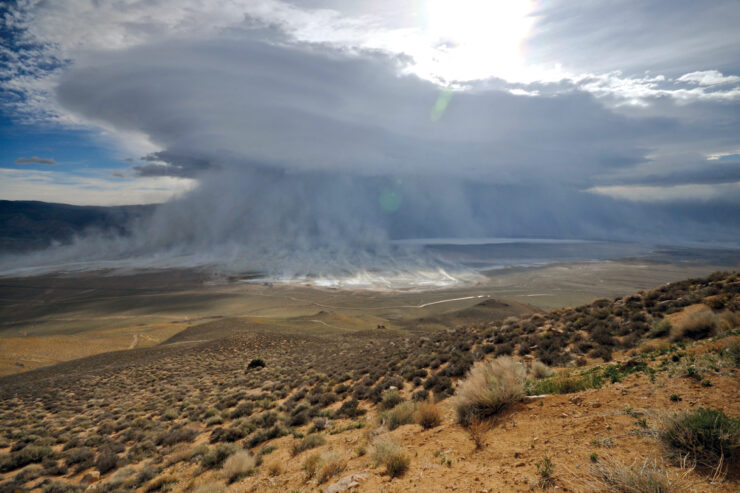
TS1 and TS3: a tale of two sites A wildfire in early July 2007 burnt a large area on the valley floor, including two permanent monitoring sites established close to Blackrock Springs under the Inyo-LA Long Term Water Agreement. Both sites were grass-dominated and mapped as groundwater dependent meadow when established in 1987 and 1988. … Read more

Owens Valley Fish

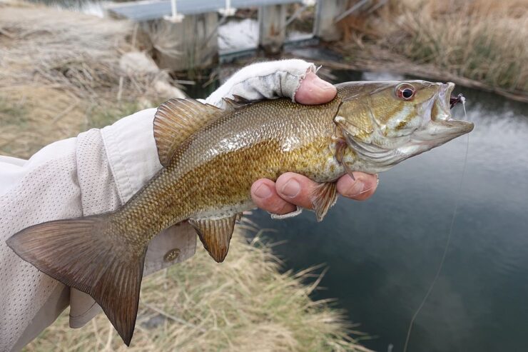
During the late Pleistocene (approximately 10,000 years ago), interconnected lakes and rivers covered much of the Great Basin. At the westernmost edge of the Great Basin, the Owens River filled the Owens Lake basin to a depth of approximately 250 feet and overflowed it, continuing as far south as China Lake. As these glacial waters … Read more

News

2/15/2014 March 22, 2014 OVC fund raising event to feature Bill Powers OVC is pleased to announce that Bill Powers, an expert on distributed solar power generation (aka “Solar Done Right”) will speak at our annual fund raising event Saturday March 22, 2014 at the Mountain Light Gallery, 106 Main St., Bishop, CA. The event … Read more

Owens Valley Reptiles

The Owens Valley, its bordering mountain ranges, and diversity of geologic features–some due to faulting; some to glaciation and erosion; some to volcanic activity–engender a number of transition zones between biological communities and varying habitat for at least 33 reptile species. Whereas desert horned lizards (Phrynosoma platyrhinos) tend to linger on warm, sandy flats on … Read more