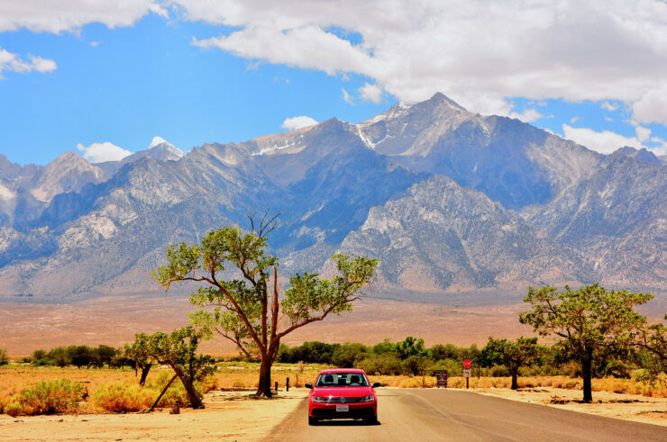
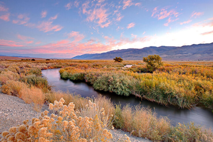
The Owens Valley can be defined, dryly, as a 100-mile long by 6-to-20-mile wide drop in the earth’s crust between two large faults at the eastern base of the Sierra Nevada and at the western base of the Inyo mountains. The valley reaches north to the Volcanic Tablelands and south past the Haiwee Reservoir.
Before 1913, the Owens River ran through it, starting at the southern tip of the Long Valley Caldera, gathering water from multiple streams that drained the eastern Sierra, and flowing into the Owens Lake, once a navigable body of water (15 miles long, 10 miles wide, and about 30 feet deep) that offered a stopover for millions of migratory waterfowl.
Before LADWP began groundwater pumping in earnest in the 1970s to fill its second aqueduct, the valley also hosted an extensive network of springs, seeps, and tens of thousands of acres of groundwater-dependent alkali meadows.

In December 2006, the Los Angeles Department of Water and Power allowed continuous–if reduced–water flows to enter the lower Owens River once again, although most year-round flows are no longer allowed to reach the lake bed.
The valley region hosts more than 2,000 plant species and more than 320 bird species, including many species that depend on the valley for essential food and rest stops during long migrations.
To see satellite photos of the Owens Valley off-site (Google maps), click here.

